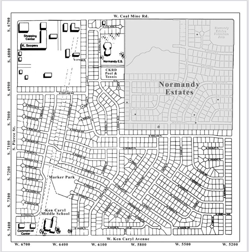
Excerpt from CKHA By-laws Article I Section 4 for our location: The area serviced by this Association shall be the following outlined area in the County of Jefferson, State of Colorado. The boundary on the east shall be Sheridan Boulevard; the boundary on the west shall be Pierce Street; the boundary on the south shall be Ken Caryl Avenue; and the boundary on the north shall be Coal Mine Road. Additional boundaries shall be Gray Court on the east and Rowland Place on the north, as shown on plat maps on file with the County of Jefferson. Click on the map to print.
Columbine Knolls Boundary Map

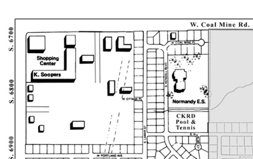
Columbine Knolls Shopping Center
